
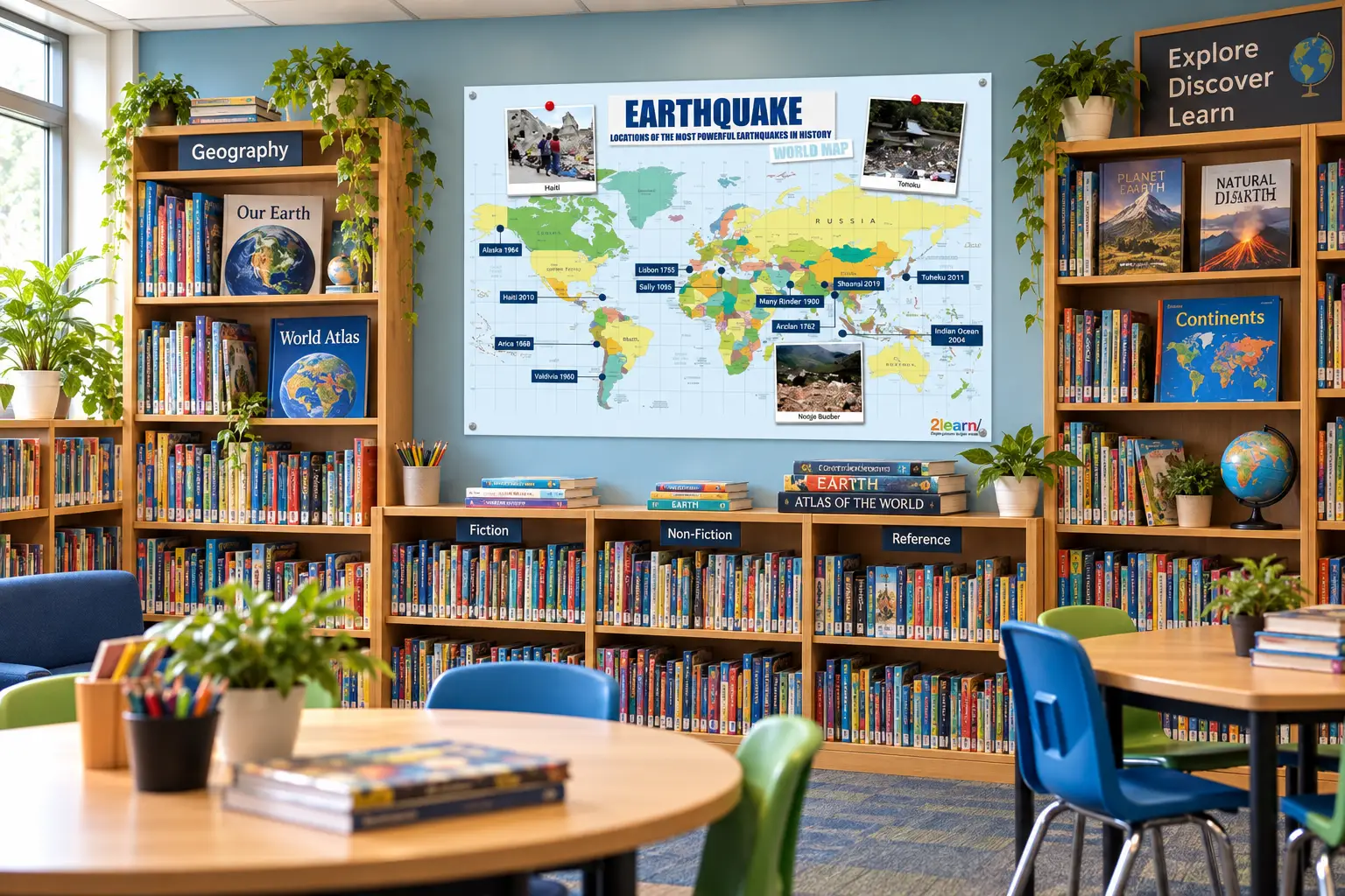
Earthquake World Map Classroom Poster – Most Powerful Earthquakes in History – Geography Display – Primary School – A0 A1 A2 A3 A4
Price range: £2.99 through £39.99 & Free Shipping
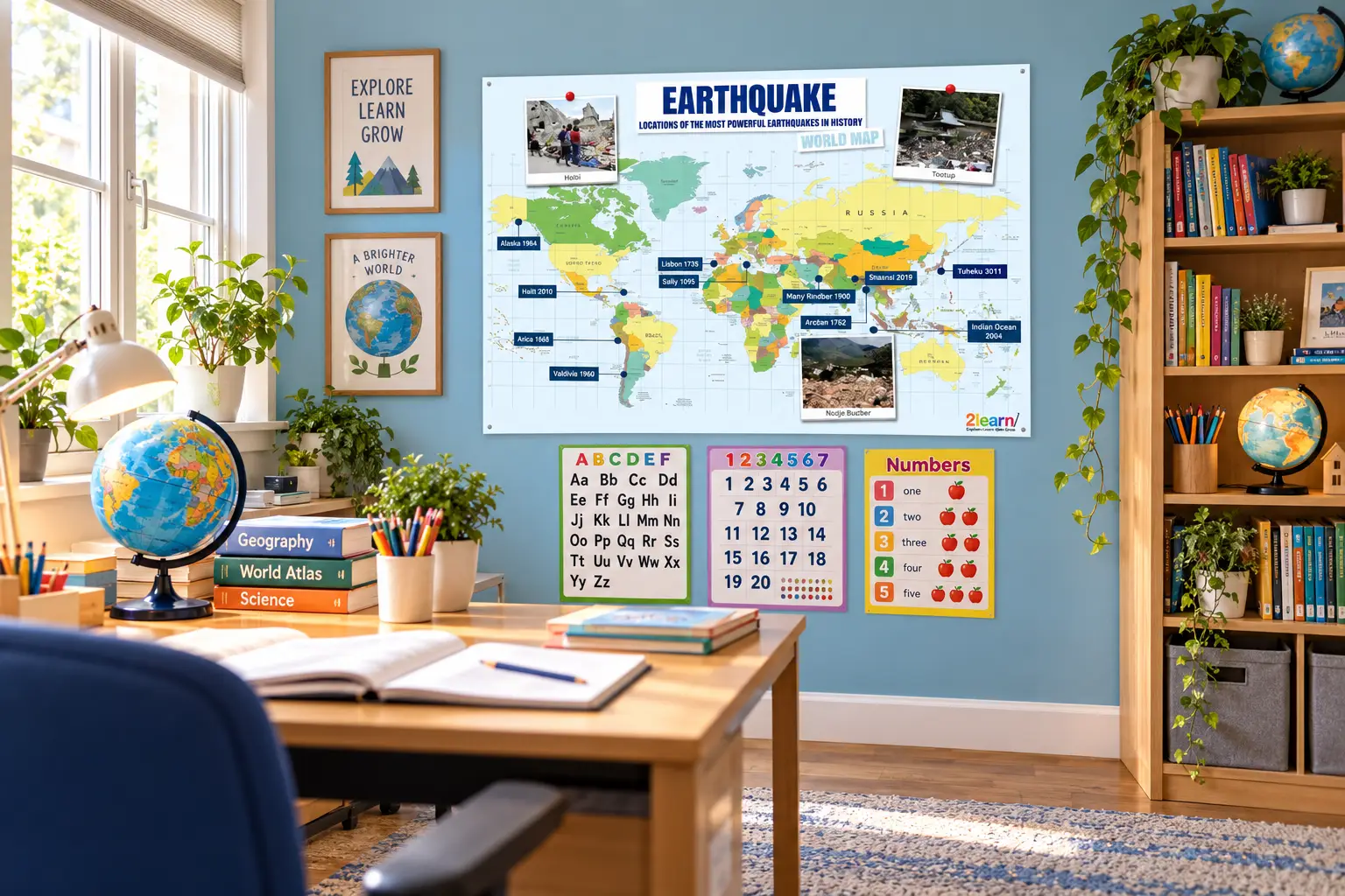
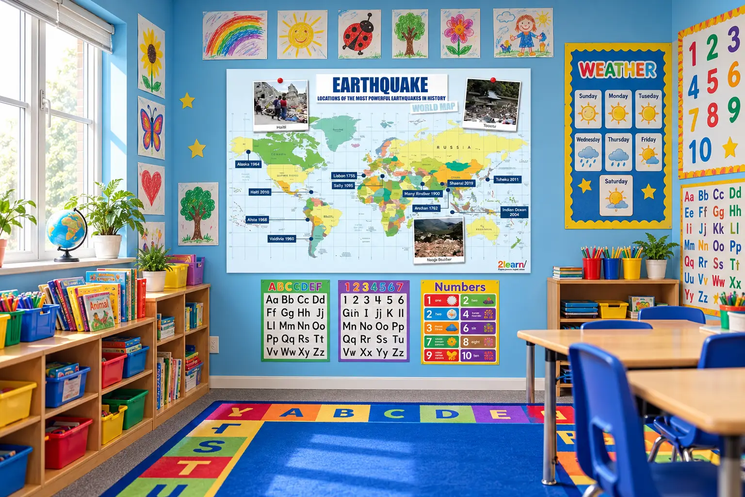
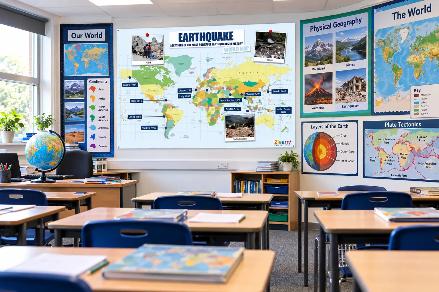
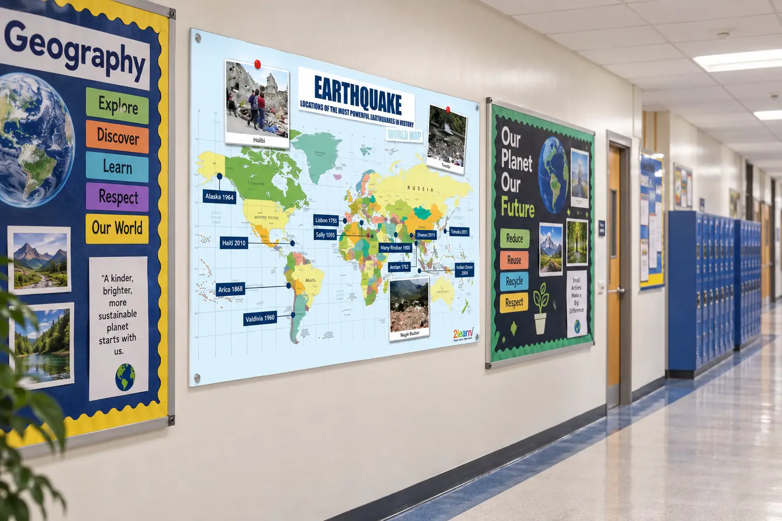
Bring geography and earth science to life with this stunning Earthquake World Map display poster! Featuring the locations of the most powerful earthquakes in history mapped across a detailed world map, complete with real photographs and location labels, this poster is perfect for primary school, secondary school, and home learning environments.
An engaging and educational display that sparks curiosity about our planet, natural disasters, and world geography — all in one impressive poster!
Free shipping on orders over £200!
- Satisfaction Guaranteed
- No Hassle Refunds
- Secure Payments
Description
EARTHQUAKE WORLD MAP POSTER – LOCATIONS OF THE MOST POWERFUL EARTHQUAKES IN HISTORY
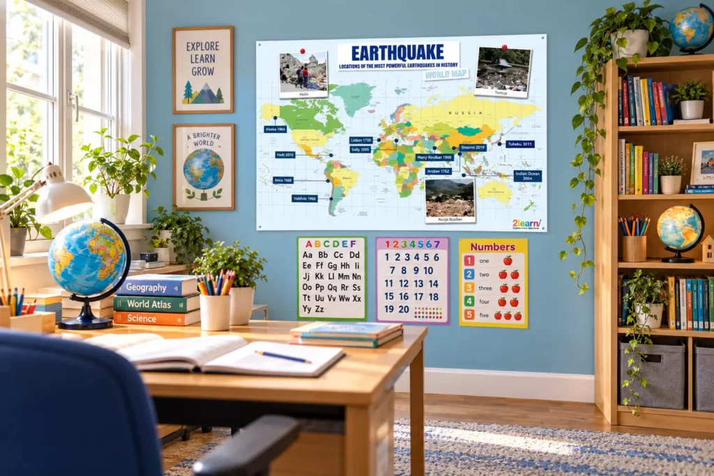
Transform your classroom or learning space with this fascinating and educational Earthquake World Map poster! Designed for school and home learning environments, this detailed poster maps the locations of the most devastating and powerful earthquakes ever recorded in history, making geography and earth science engaging and visual for all ages.
WHAT’S ON THE POSTER
Full colour detailed world map
Pinpointed locations of the most powerful earthquakes in history including:
- Alaska 1964
- Haiti 2010
- Atica 1868
- Valdivia 1960
- Lisbon 1755
- Sally 1905
- Manjy Rndbar 1940
- Arelian 1762
- Shaanxi 2019
- Tohoku 2011
- Indian Ocean 2004
Real photographs showing earthquake devastation
Clear location labels with dates
World Map reference guide
PERFECT FOR
Primary and secondary school classrooms
Geography and earth science lessons
Natural disaster topic displays
School corridors and common areas
Home learning environments
After-school clubs and youth groups
Libraries and reading areas
STEM learning displays
CURRICULUM LINKS
KS2 & KS3 Geography — Natural Disasters
KS3 Science — Earth and Atmosphere
STEM Education — Earth Sciences
History — Natural Events Timeline
Global Awareness and World Geography
EDUCATIONAL BENEFITS
Develops world geography knowledge
Teaches children about tectonic plates and natural disasters
Encourages research and curiosity about earth science
Supports visual learning through maps and photographs
Links history, geography, and science together
Builds awareness of global events and their impact
Encourages discussion about disaster preparedness and safety
WHY TEACHERS LOVE THIS POSTER
✓ Detailed and informative world map display
✓ Real photographs make content relatable and impactful
✓ Covers multiple curriculum areas in one poster
✓ Bold, clear design easy to read from a distance
✓ Sparks curiosity and classroom discussion
✓ Multiple size and material options to suit every budget
✓ Durable materials designed for busy classroom environments
✓ Perfect for topic and project work displays
AVAILABLE SIZES
A0 — Ideal for large display walls and school halls
A1 — Perfect for classroom feature walls
A2 — Great for smaller classroom spaces
A3 — Ideal for desk, table, or small wall display
A4 — Perfect for individual pupil use or home learning
MATERIAL OPTIONS
PVC Poster — Durable, wipe-clean surface ideal for long-term display and weather resistance
Adhesive Vinyl — Self-adhesive backing, simply peel and stick directly onto any smooth wall surface
130gsm Standard Print — Lightweight, cost-effective quality paper print
130gsm Gloss Laminated — Enhanced durability with a professional gloss finish for longer lasting display
350gsm Card Stock — Thick, premium card for a high-quality, sturdy feel
350gsm Gloss Laminated — Premium thick card with a beautiful gloss finish for maximum durability and longevity
DELIVERY & PACKAGING
Posters carefully rolled and packaged in protective tubes
A3 and A4 prints packaged flat in rigid board-backed envelopes
Fast UK delivery available
CARE INSTRUCTIONS
PVC and Vinyl posters: Wipe clean with a damp cloth
Laminated prints: Wipe gently with a soft cloth
Avoid direct prolonged sunlight to prevent fading
Store flat or rolled when not in use
Inspire a love of geography and earth science with this stunning Earthquake World Map classroom display poster!
Additional information
| Poster Size | A0, A1, A2, A3, A4 |
|---|---|
| Material/Type | 130gsm Gloss Laminated, 130gsm Standard, 350gsm Card + Lamination, 350gsm Card Stock, Adhesive Vinyl, PVC Poster |
Related products
-
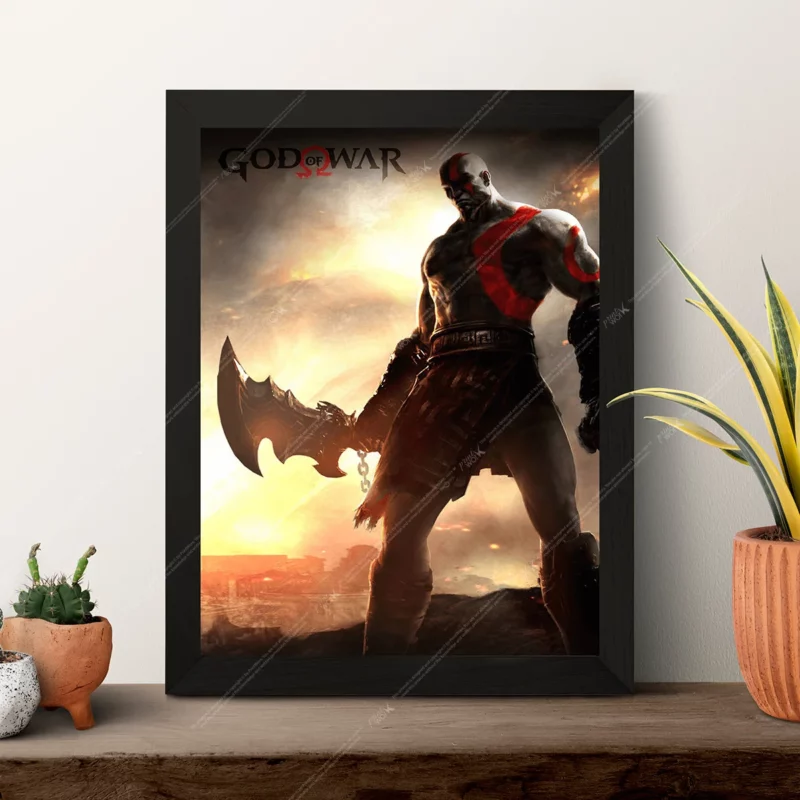
God of War Poster – Kratos Blade of Chaos Sunset Wrath PlayStation Gaming Art Print
Price range: £6.99 through £24.99Select options This product has multiple variants. The options may be chosen on the product page -
Sale!

The King of Fighters K’ Dash Poster Art | Premium Arcade Gaming Wall Print (A0, A1, A2, A3, A4)
Price range: £2.99 through £39.99Select options This product has multiple variants. The options may be chosen on the product page -
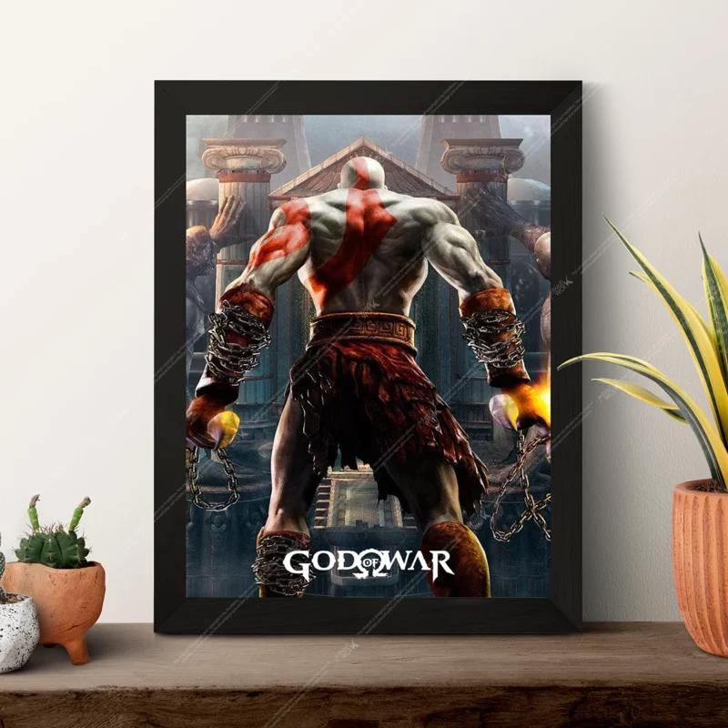
God of War Poster – Kratos Ghost of Sparta Blades of Chaos Classic PlayStation Gaming Art Print
Price range: £6.99 through £24.99Select options This product has multiple variants. The options may be chosen on the product page -

Assassin’s Creed Poster – Leap of Faith Cathedral Jump Cinematic Gaming Art Print
Price range: £6.99 through £24.99Select options This product has multiple variants. The options may be chosen on the product page
Reviews
There are no reviews yet.